Berkeley to Hayward Bay Trail
2025-12-07
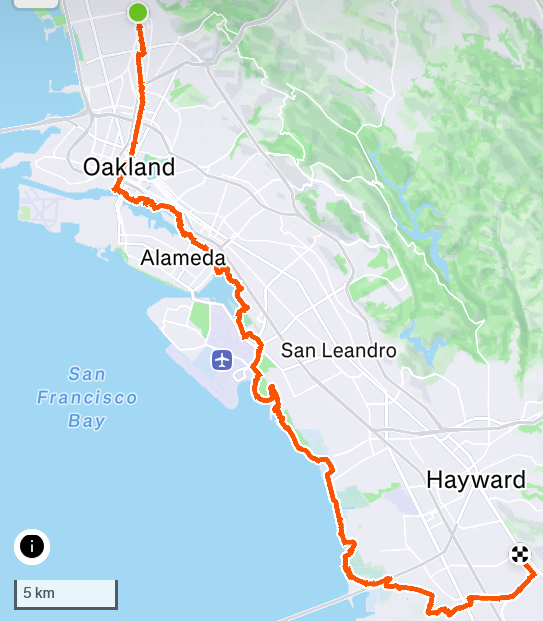
Over the course of the past few months I've been trying to cover as much of the Bay Trail as I can, doing segments one at a time. I've done most of the segments in San Francisco, from Berkeley north to Richmond and then Pinole Point, and the stretch in San Mateo County from Millbrae to Redwood Shores. I've been plotting a ride south from Berkeley to Hayward. I hoped I'd get from my house all the way to 92, and ideally to the end of the Bay Trail in Hayward. There's a big gap in the Bay Trail in Union City, and it picks back up again in Fremont, which will be a future segment.
The first leg was my standard ride from Berkeley to Downtown Oakland, going down Oxford/Fulton street (a slightly prettier ride than the bike lane on Milvia), winding onto Shattuck and then Telegraph. I usually switch to Telegraph at 55th Street to bike through the main commercial row of Temescal, but I was in a hurry today and stayed on Shattuck, running into this nice mural for the first time.
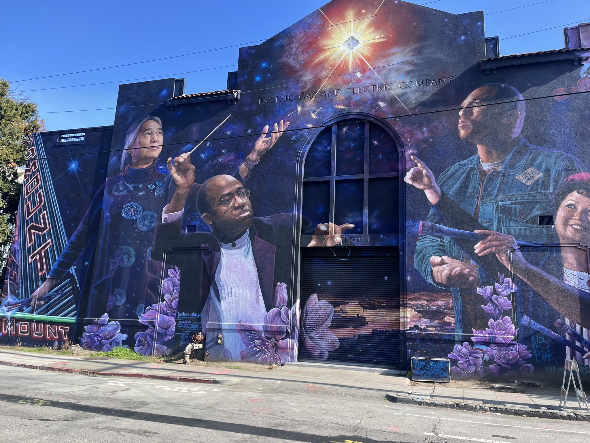
Forgive the rushed, cropped photo. Looks like it's titled "Love Letter to Oakland," I'll have to stop by again.
After brunch in Oakland, I rolled through downtown to Jack London Square, approaching Embarcadero right as an Amtrak San Joaquins - uh, I mean, "Gold Runner" - train went through. It's pretty nuts that Amtrak trains still run in the street here!
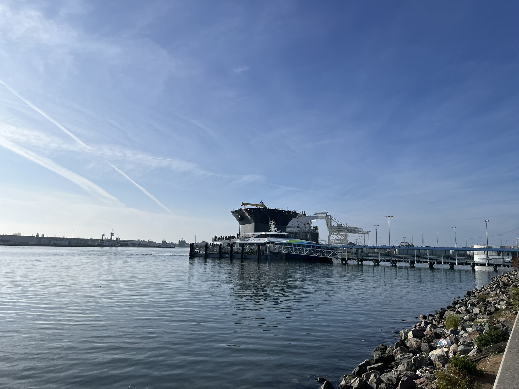
It's been forever since I've taken the ferry to San Francisco, it's a lovely ride. I recommend the boat to Vallejo, it's got wonderful views.
There was a farmer's market at Jack London Square - I dropped a couple dollars in the Oaktown Jazz Sessions sax case. They sounded good! A stand was selling garnished tamales for $8, which I would later regret passing up.
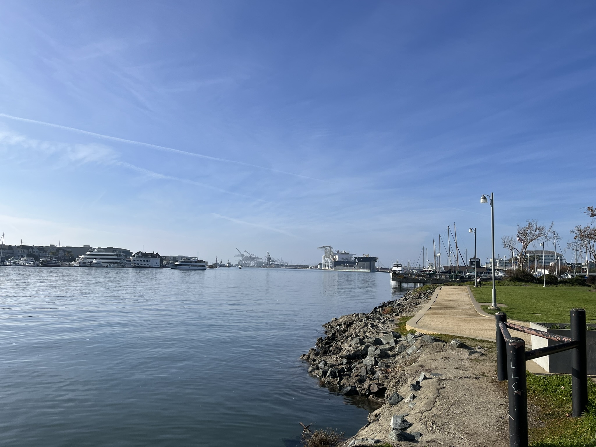
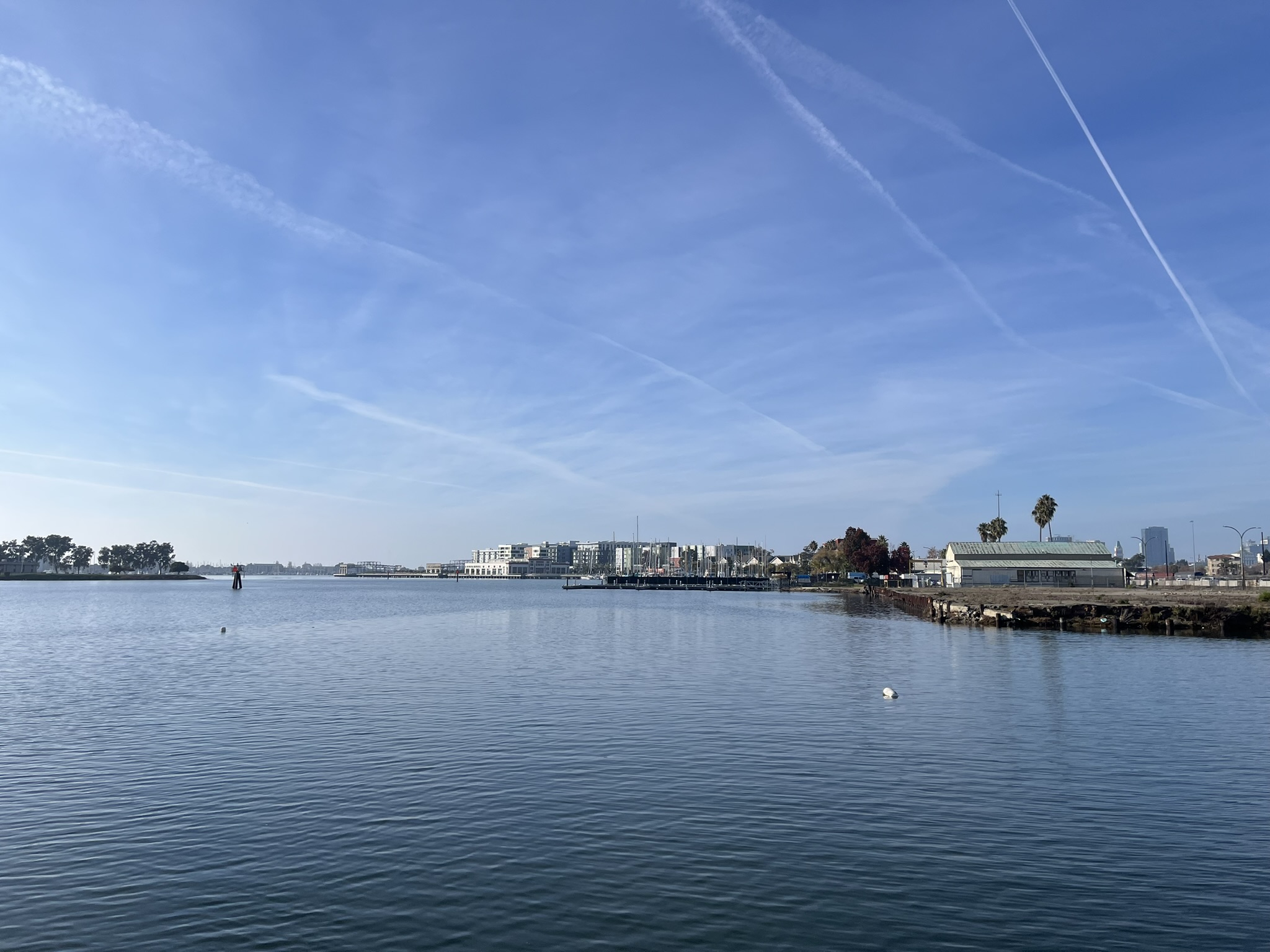
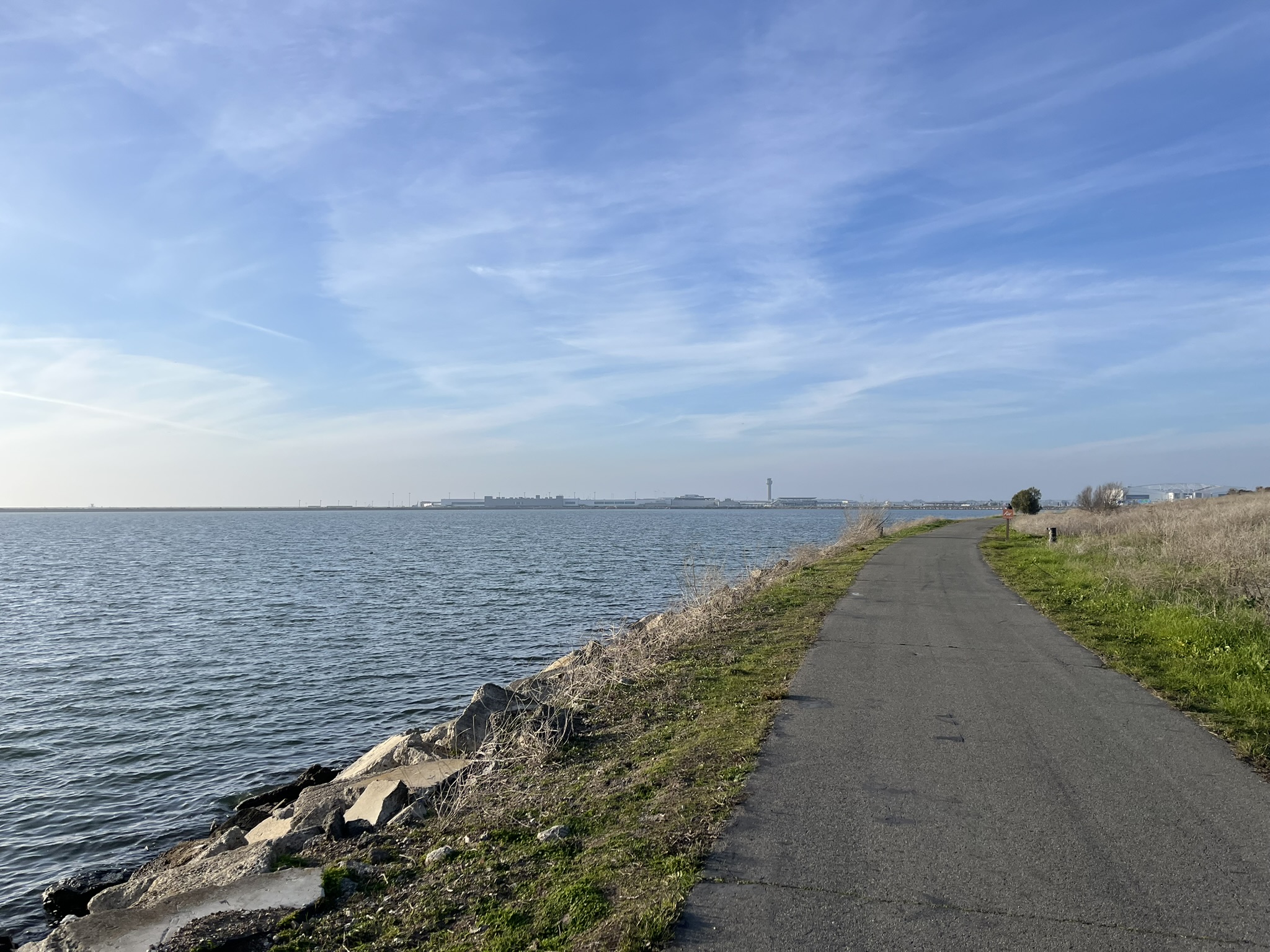
I finally hit the Bay Trail, which is mostly car-free and paved with many interruptions. There were several spots between Jack London and Fruitvale where I had to go on the street, but the views between were nice. I didn't get any pictures of the artsy houses on 5th Ave.
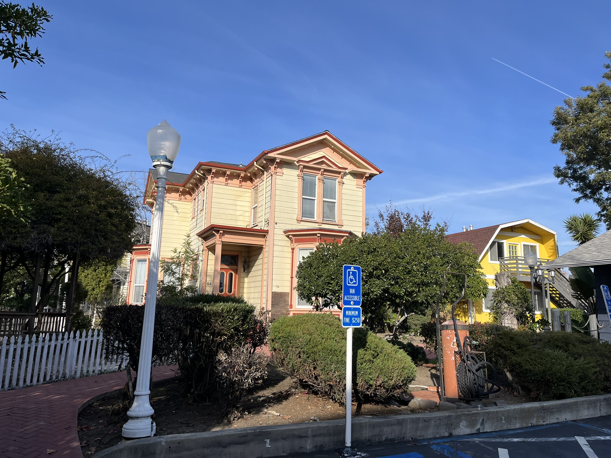
I did stop for these neat houses, though. They looked old, but they were scattered across this small plot of land, not facing any street. I wonder what their story is.
It was largely car-free after I passed the High Street bridge to Alameda. The Bay Trail crosses lots of pedestrian/bike bridges over channels. Pre-colonization, there must have been countless streams emptying into the Bay. Now that it's all urbanized, in built-up areas like Oakland all the outflow is channelized.
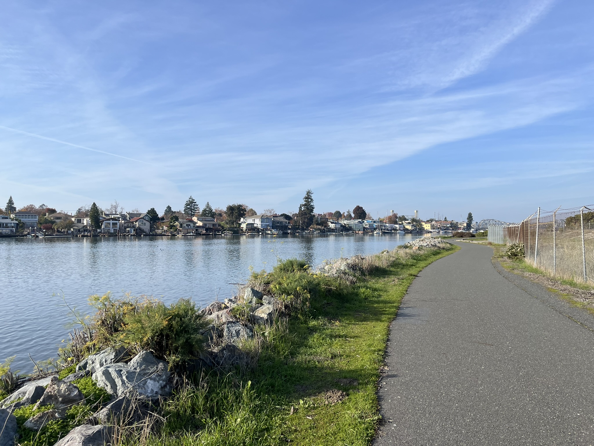
Here are two bridges I crossed in quick succession by San Leandro Creek. I made it to the Martin Luther King Regional Shoreline, a nature reserve.
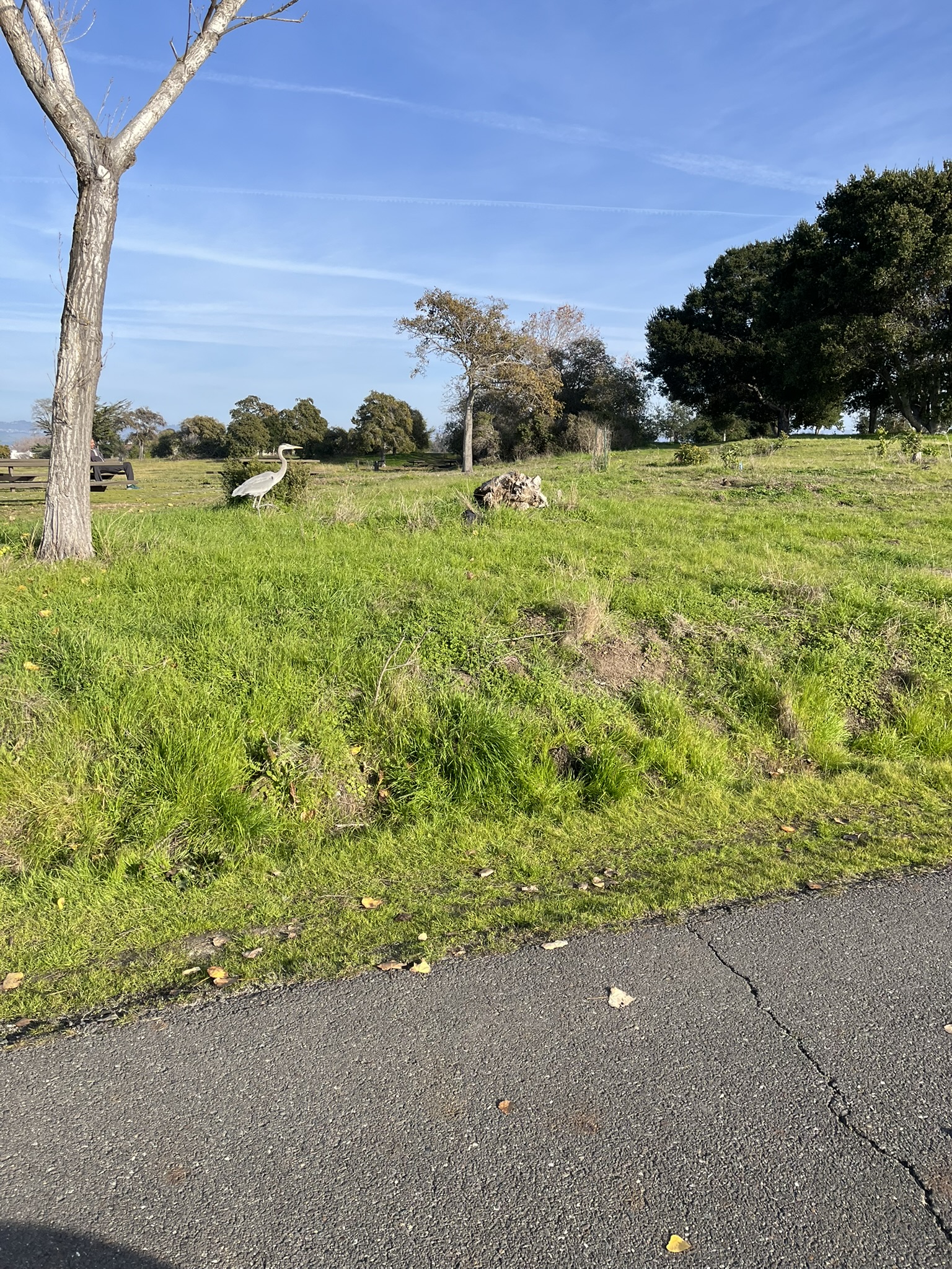
Rushed picture of a great blue heron! These magnificent birds are often pretty unbothered by people.
The section around Oakland International Airport is a bit gnarly. I routed myself onto minor streets, where I saw lots of occupied parked cars that must have been rideshare drivers waiting for pickups at the airport.
I even got up close and personal with the BART airport connector. It's really cool, but my hot transit take is that the $484 million spent constructing this low-capacity guideway could have been better spent on something else.
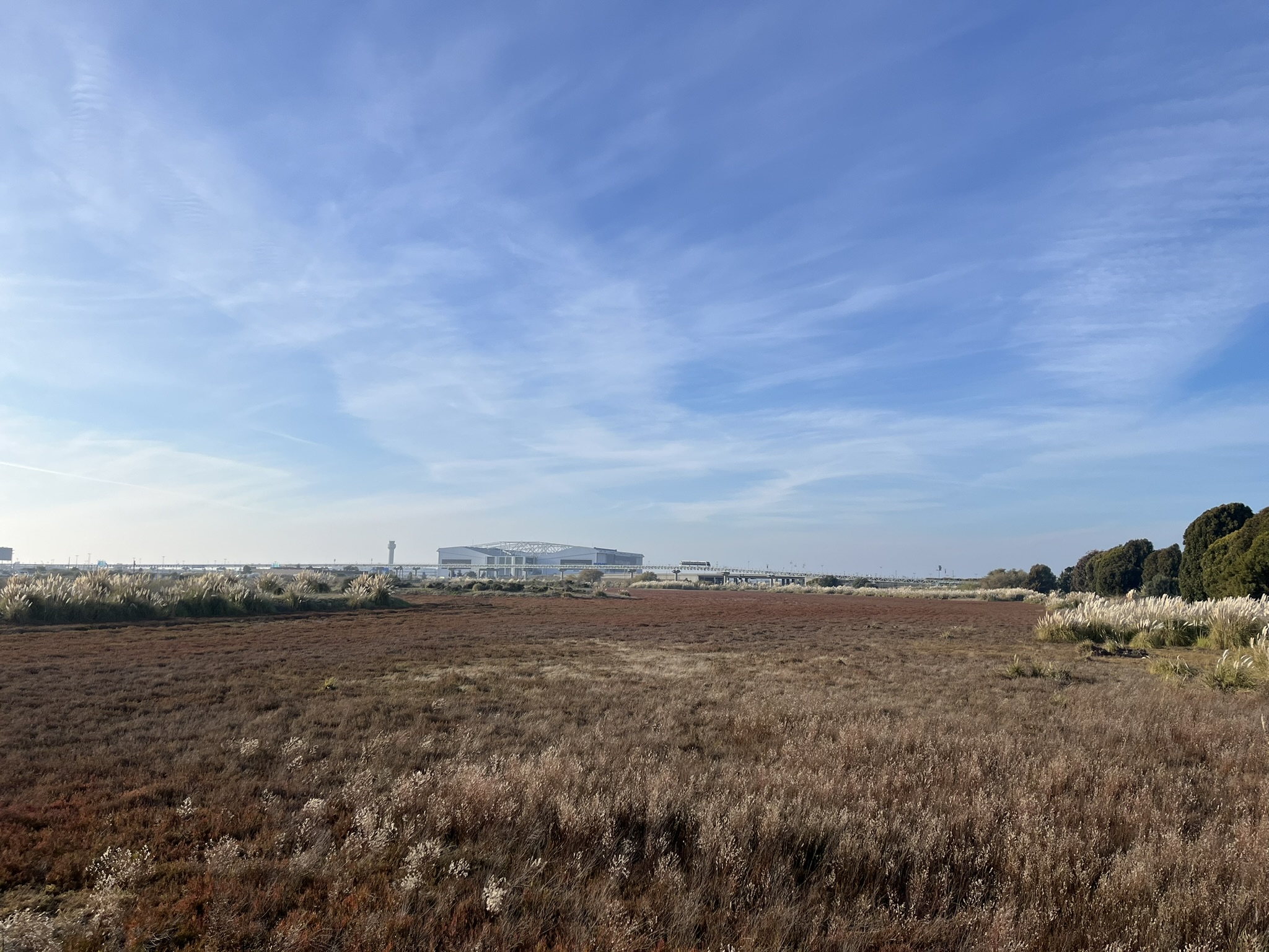
The Bay Trail picked back up on the other side of the airport. You can see the BART vehicle in the distance.
I can't embed a video on this site, but a JSX Embraer regional jet flew super low over the trail and golf course!
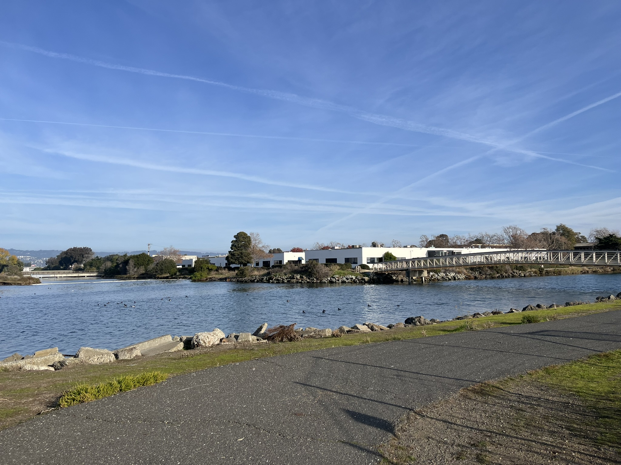
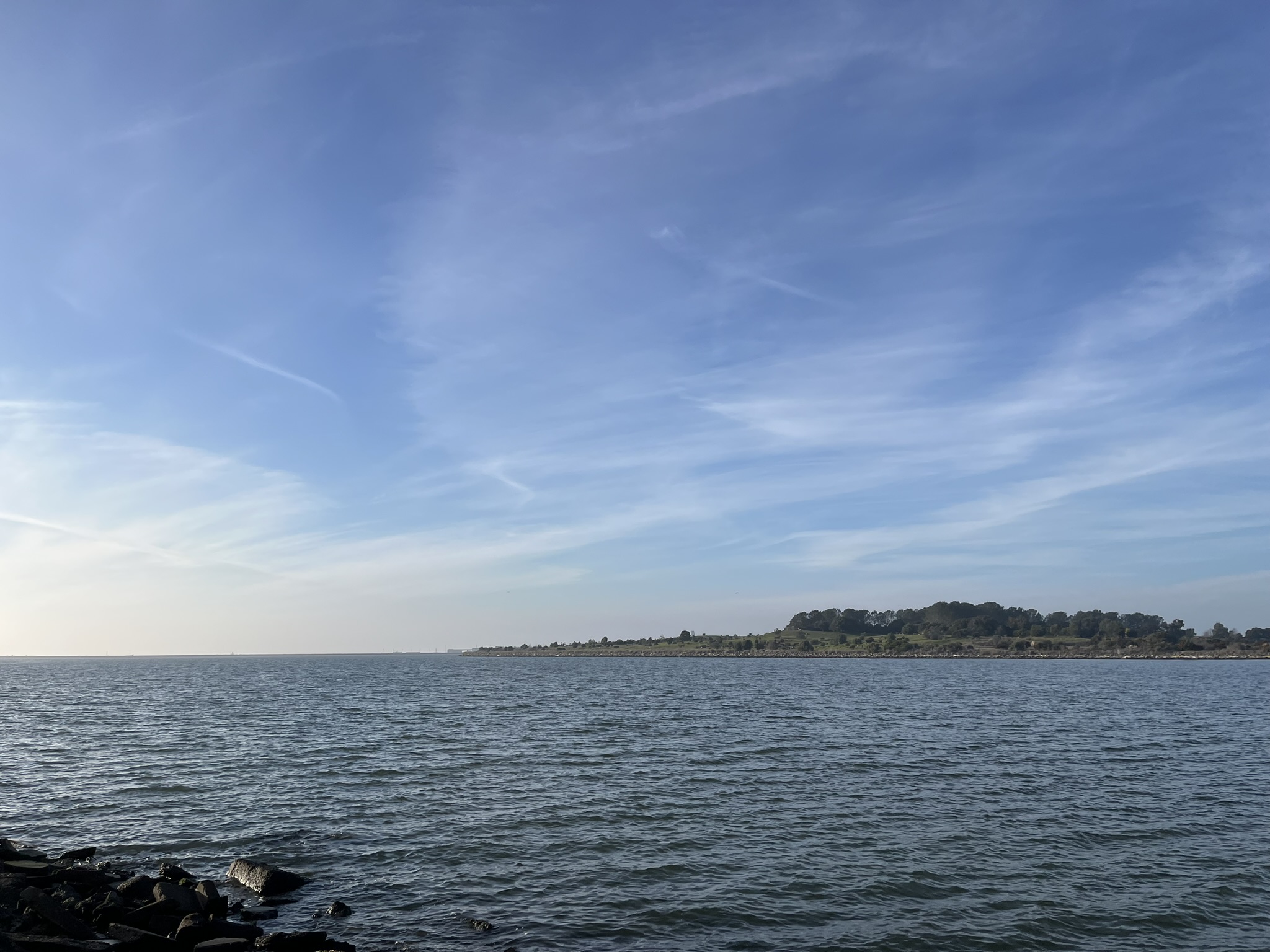
The trail wound around a golf course, and then crossed another bridge to Oyster Bay Regional Shoreline, which my map tells me is the border of San Leandro. I think this marks the first time I have intentionally visited San Leandro.
I think Oyster Bay Shoreline is an old landfill - it's one of those weird hills on the bay with wellheads sticking out of the grass, and it's a similar shape to the old bayside landfill that is now Cesar Chavez Park in Berkeley. It's also got a Frisbee golf - I mean disc golf - course on it now! I took a weird turn trying to avoid a hill and ended up unnecessarily biking a dirt road toward the next bridge.
I was sent onto city streets for a couple blocks, where I saw an entire functional windmill in a yard. Does it do anything??
Around 3:00 I started to get really hungry, so I locked up my bike at El Torito at the San Leandro Marina. I feel like I can always count on Mexican food. I got spinach enchiladas while I read Digital Minimalism by Cal Newport, given to me by a friend. The book has some useful points but also some curiously interpreted science, sketchy historical anecdotes, and a lot of opinion and catchy language. I wonder what motivates academics to write popular books. It's been a worthwhile read - it's one of the reasons I'm blogging today's ride instead of sending texts to everyone.
El Torito had views of the bay out the windows. It took a while to get served, and I realized I had to get going when the sun started to turn yellow on the horizon. I left at 4:26, and sunset was at 4:50 - and the sun dipped behind the Santa Cruz Mountains west of the Bay earlier than that. I just hoped I'd make my goal before it got completely dark out.
Marina Park in San Leandro is a popular place to be on a Sunday afternoon! There were lots of people out on the path opposite the inlet.
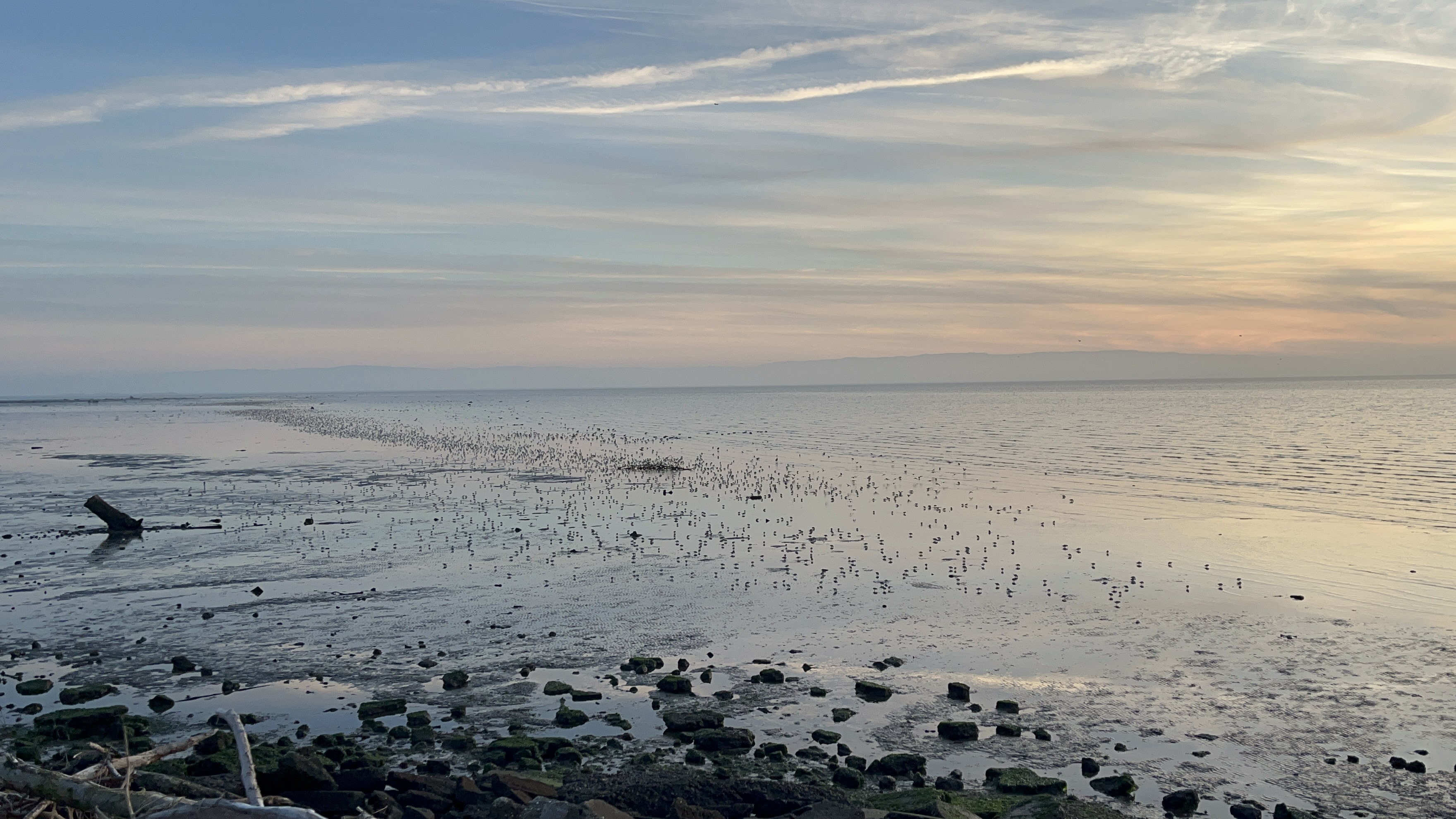
The Bay Trail then curved around another golf course, where I saw all these birds standing in the water.
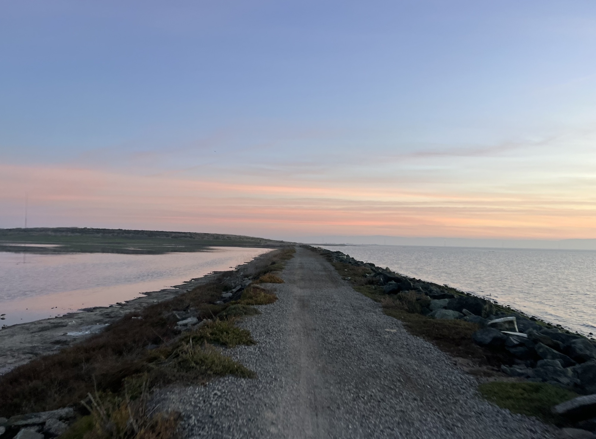
Pretty soon after that, the Bay Trail turned to gravel. Thankfully my bike can handle that!
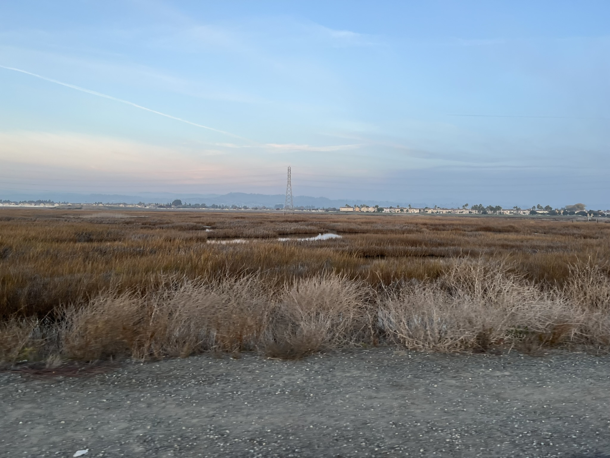
This part was mostly wetlands, with lots of bridges over sloughs. Some of them were gurgling a flow of water out to the Bay.
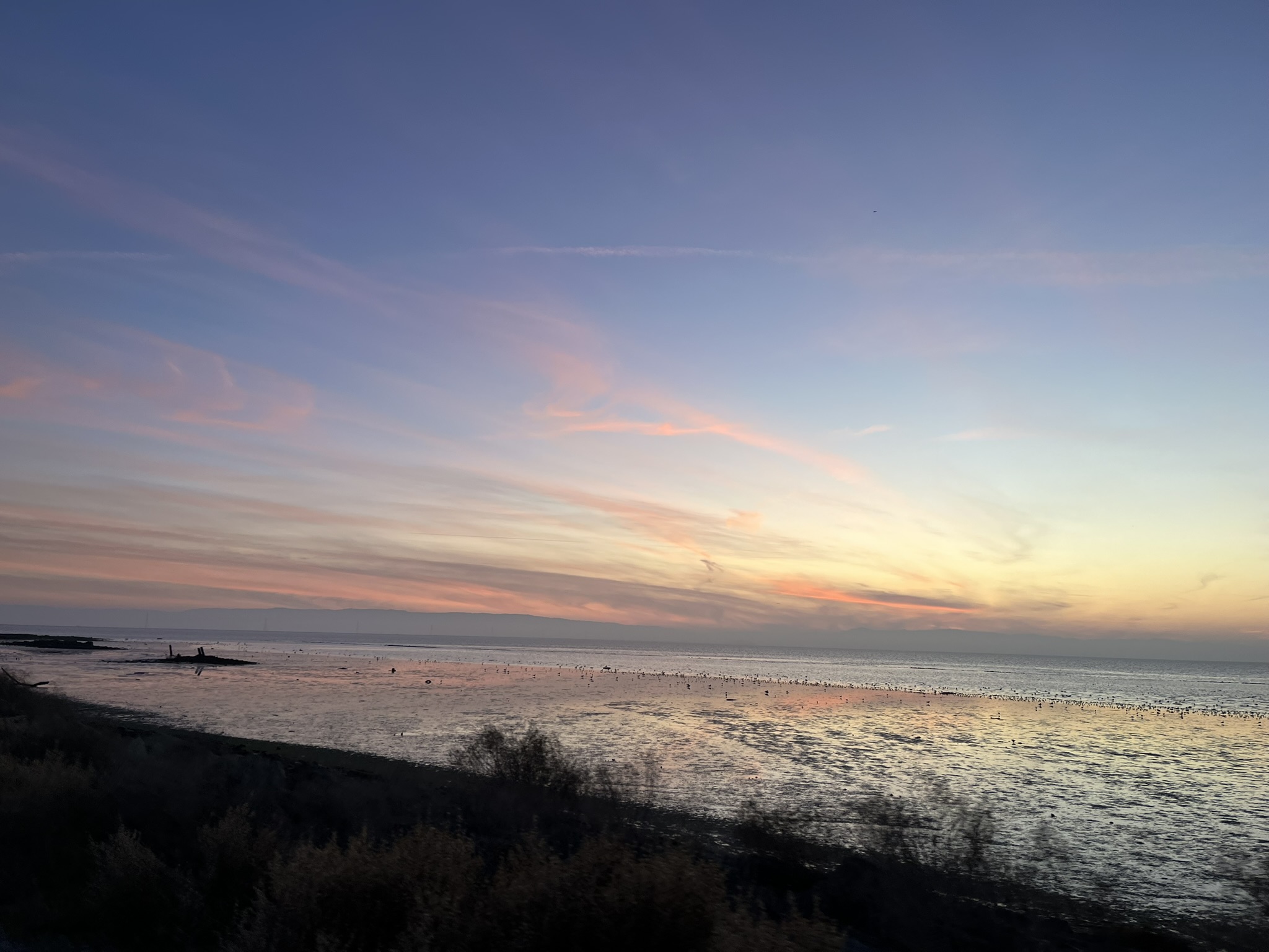
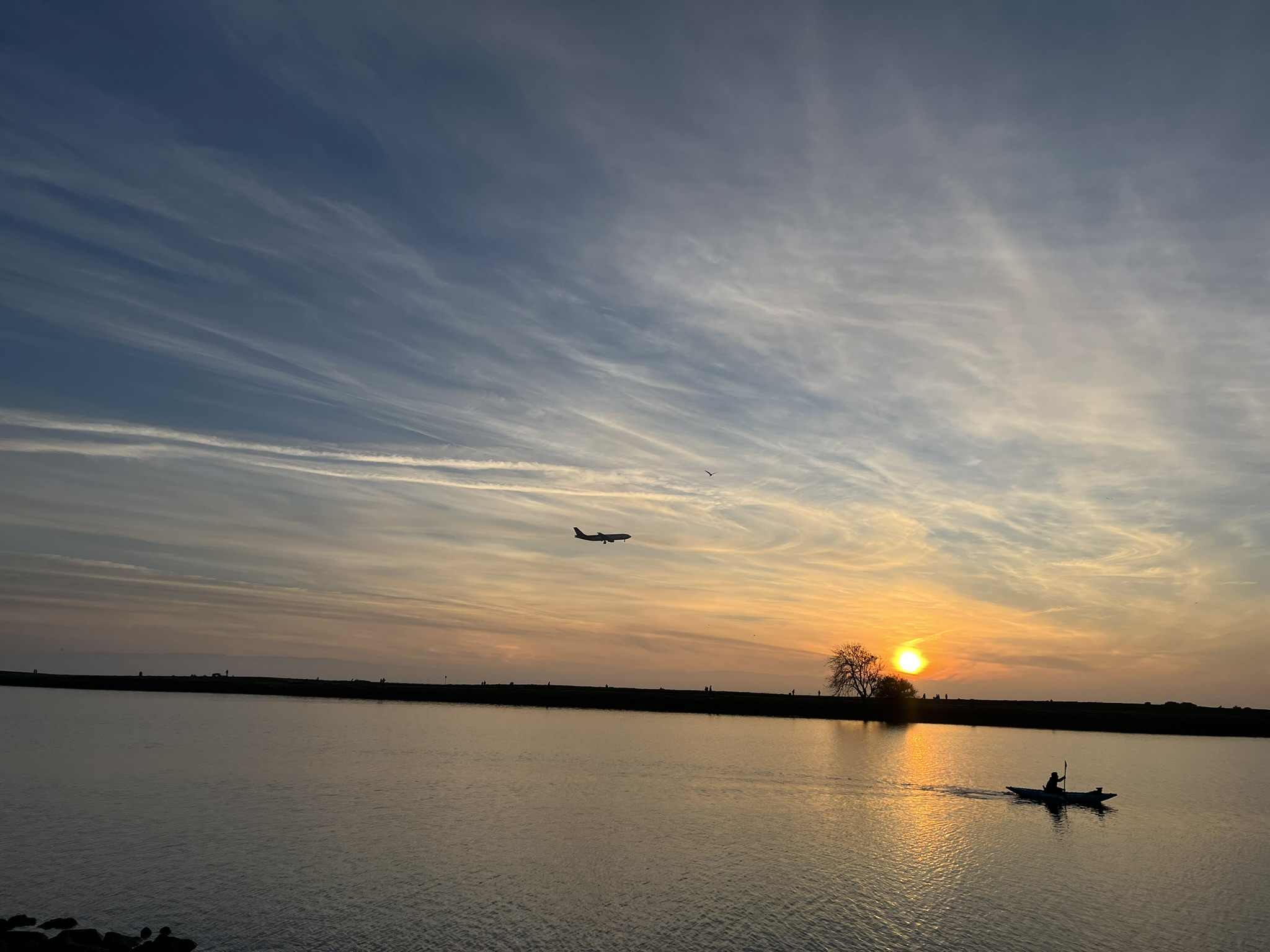
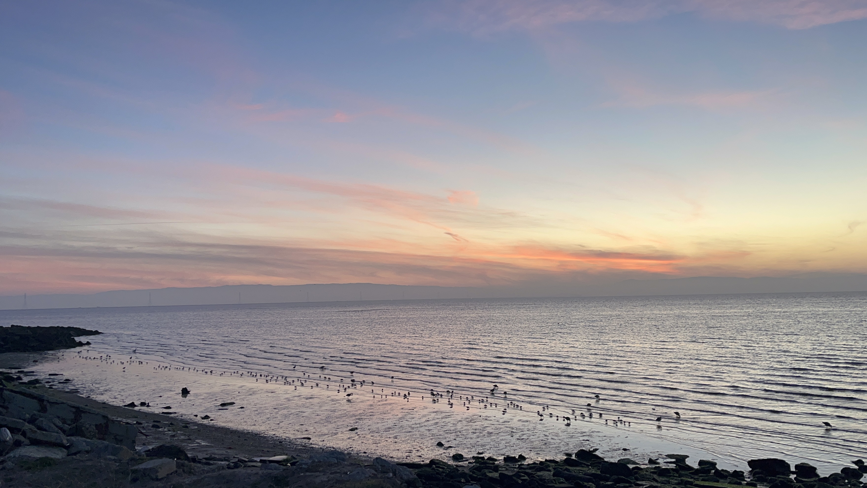
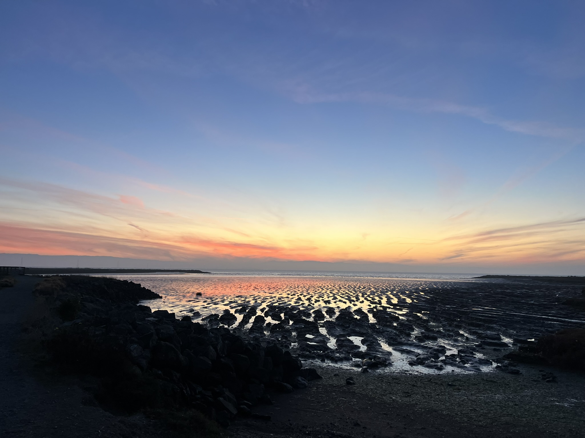
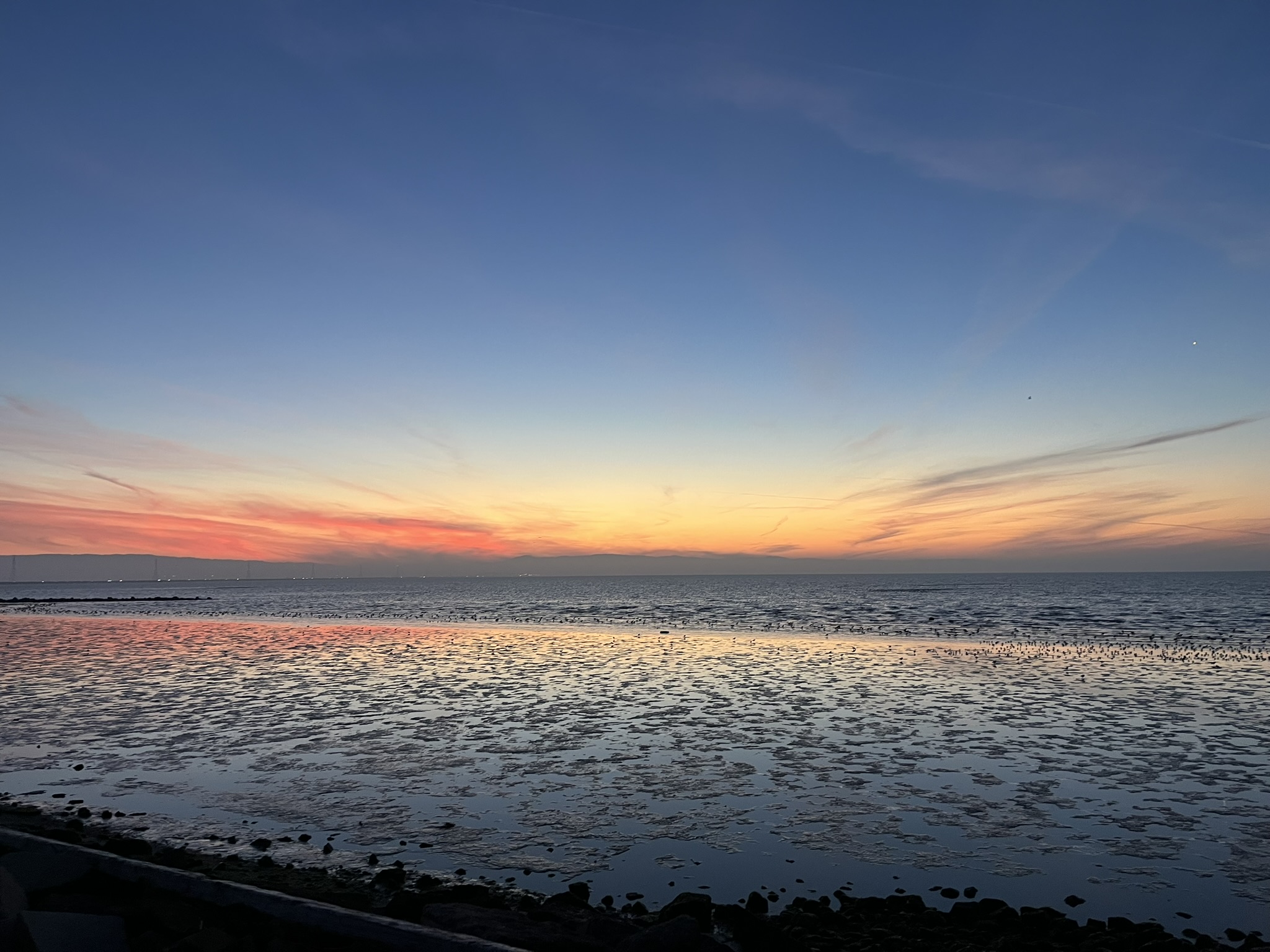
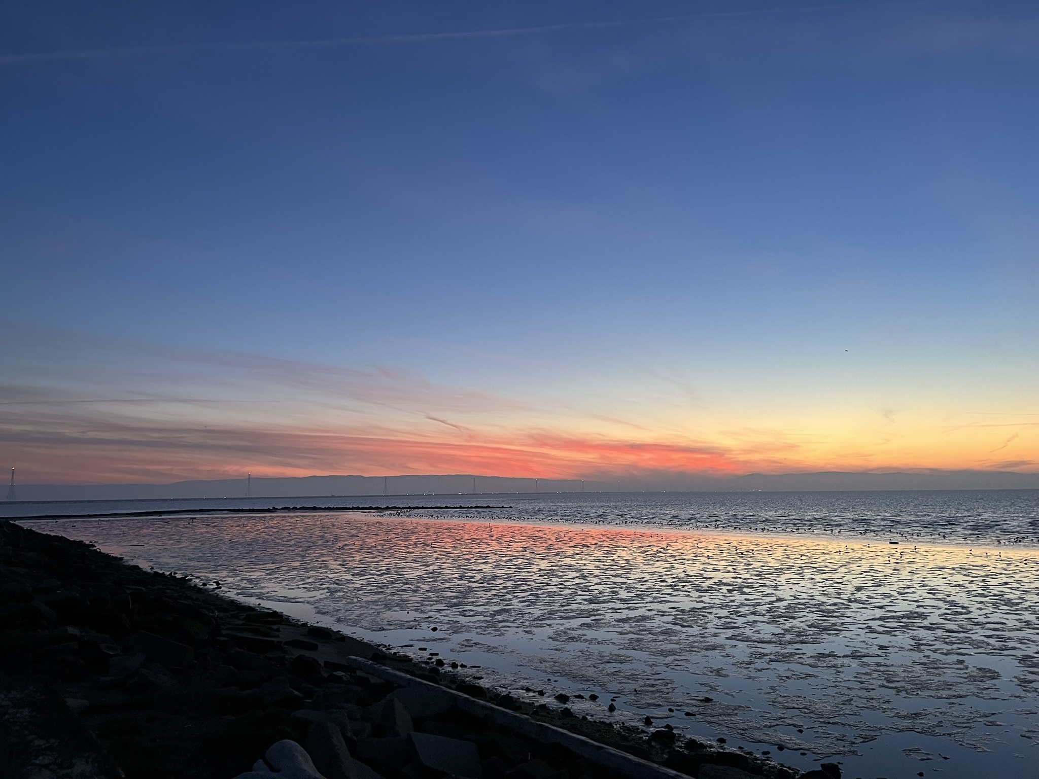
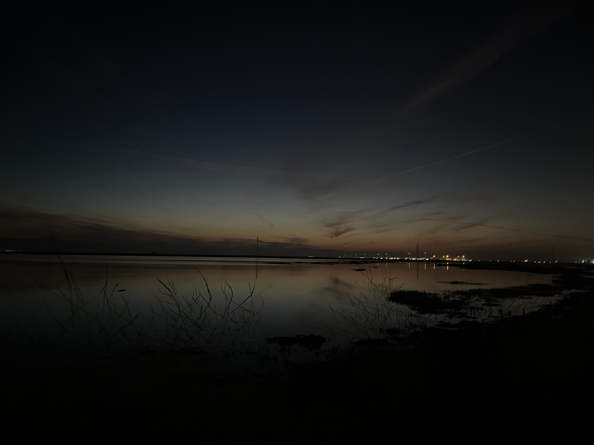
Sunset happened at low tide, creating an incredible effect where the sunset colors reflected in the exposed tidelands.
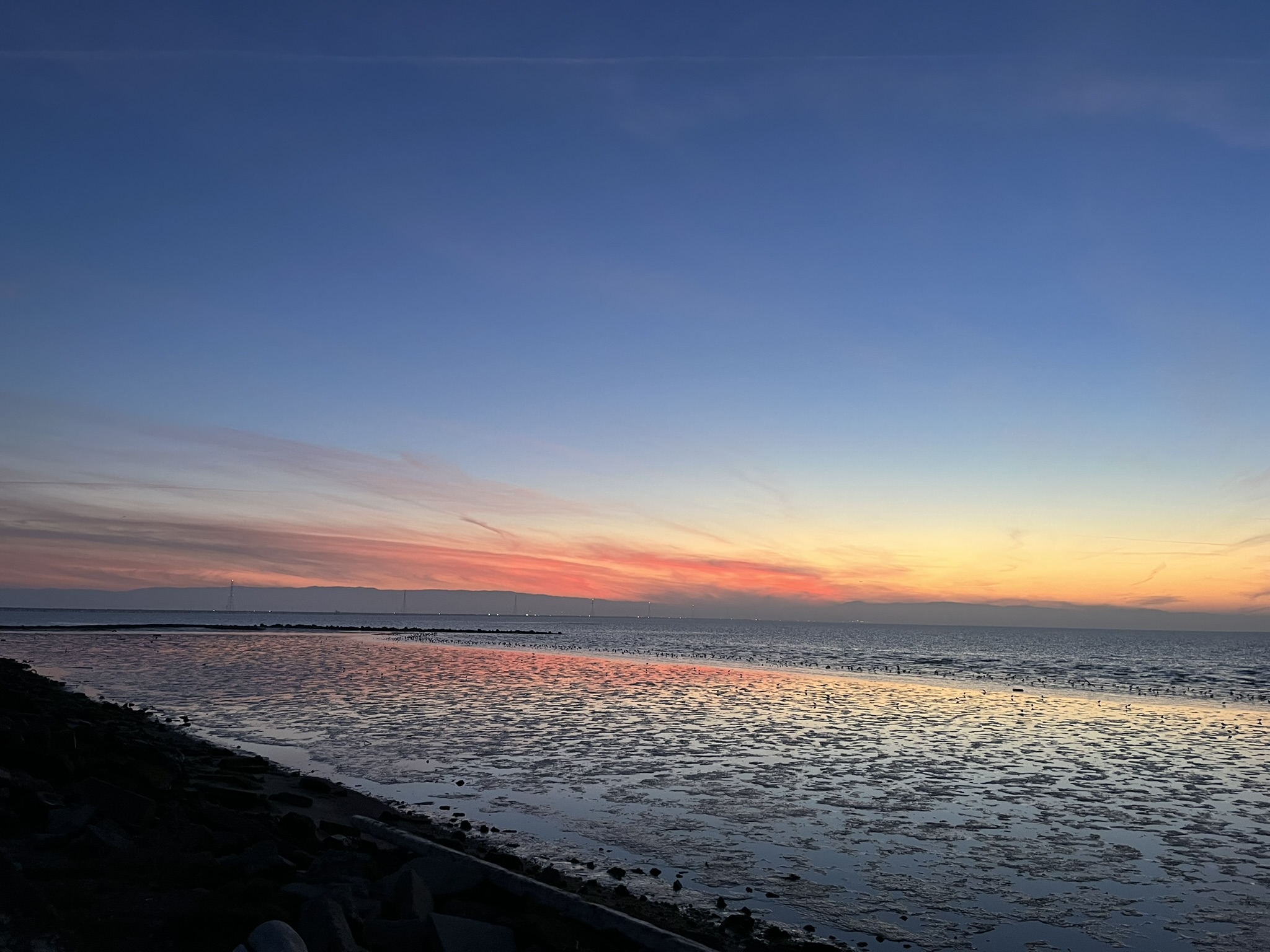
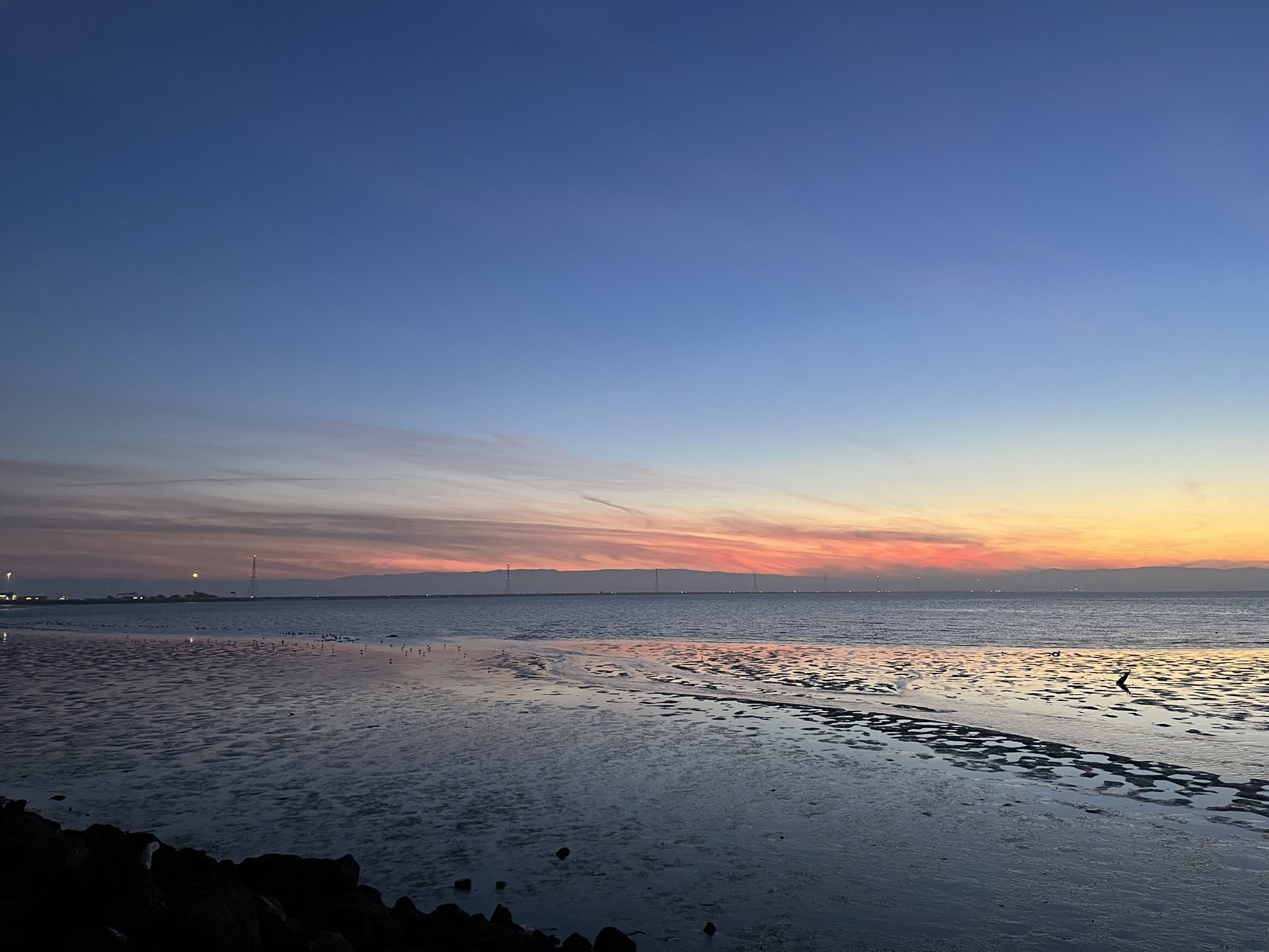
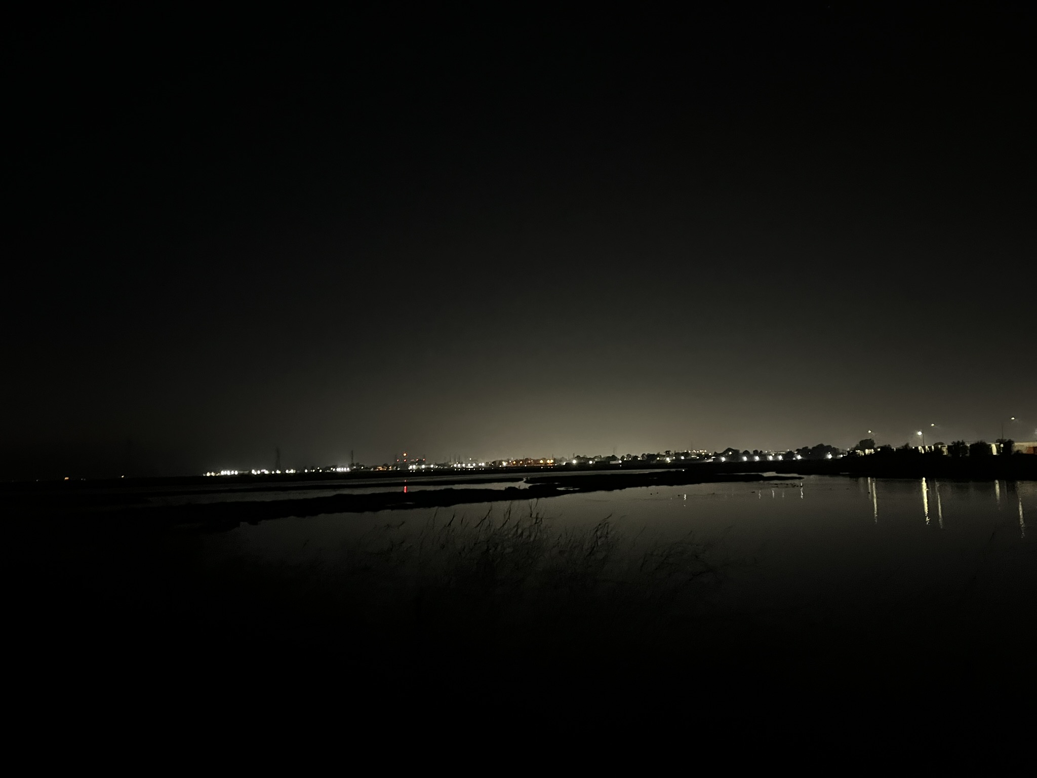
Finally, the San Mateo Bridge! I'd made it before dark!
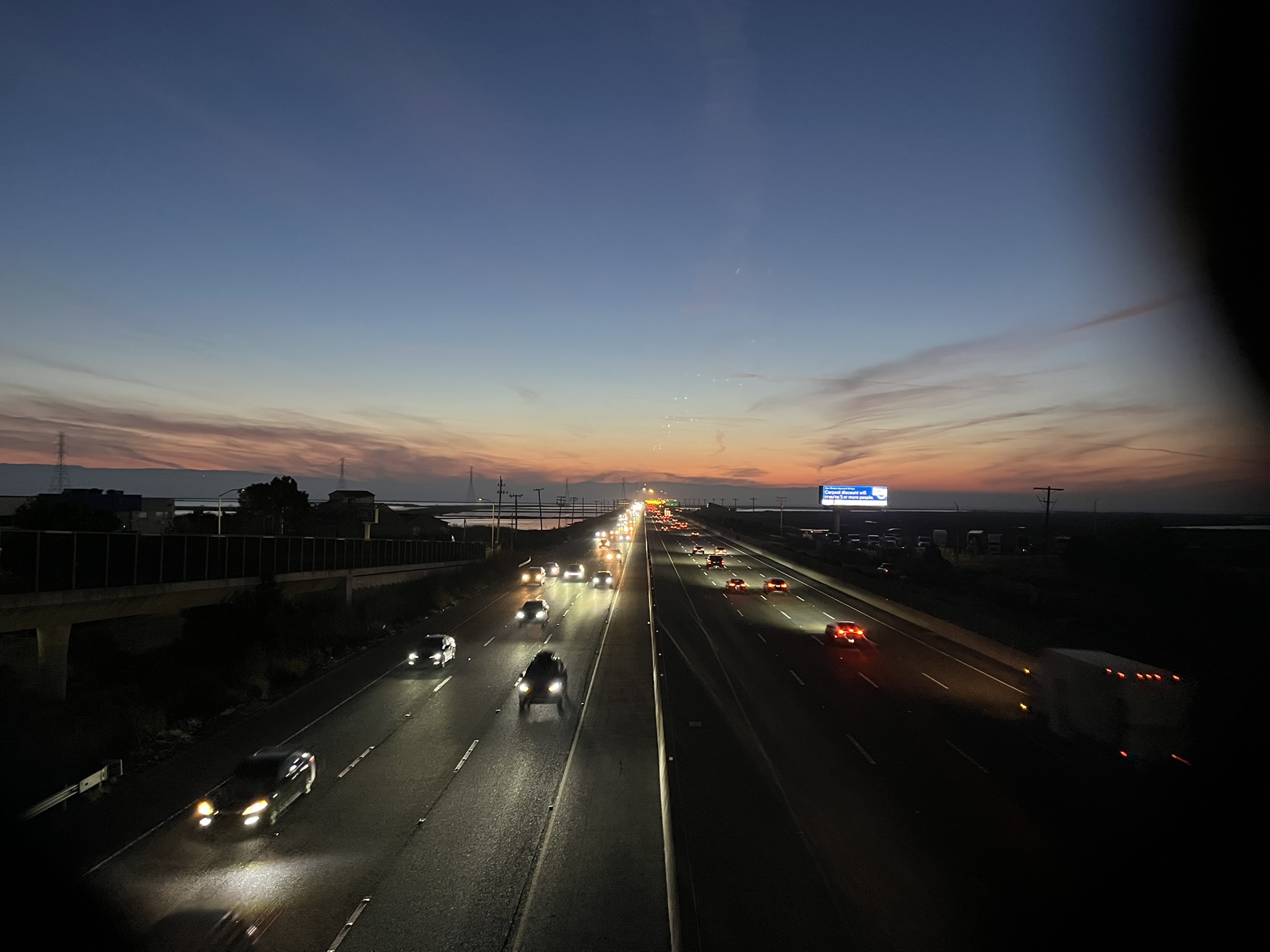
I successfully made it to State Route 92 before turning on my bike lights. I had a bit more Bay Trail to go before I could consider this segment finished, which I would have to do in the dark for completionism's sake.
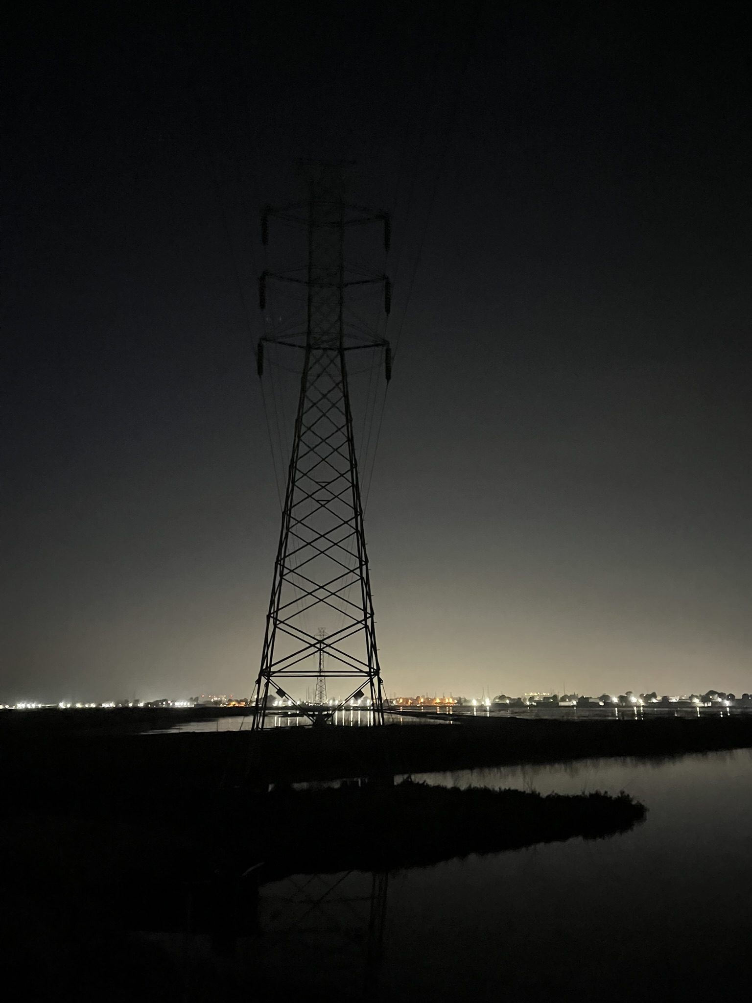
This one goes out to Juniper for posting creepy pictures of power lines the other day.
This is not a good picture, but I hope it conveys how dark it got out there. The last bit of the trail was through Eden Landing Ecological Reserve, managed by the California Department of Fish and Wildlife. It's a game reserve, closed a few days a year for waterfowl hunting. Nobody would be hunting waterfowl after dark on a Sunday, but I can't help a little paranoia. I think I spent 15 minutes biking through the wildlife preserve with no intermediate exit off the trail. I was slightly scared the gate at the other end would be locked!
After over 20 miles of Bay Trail, I was unceremoniously let out into a random Hayward subdivision. I looked at maps on my phone for a while to plot the least pleasant part of the ride: biking through Hayward at night. I settled for biking on the sidewalk of Industrial Parkway, which isn't recommended (and I don't enjoy dodging road poles) but it beat biking in the slim bike lane next to 40 mile an hour traffic in the dark. In more urban cities, it's fairly easy to take side streets and avoid traffic, but in Hayward, I had to cross both Interstate 880 and the Union Pacific railroad (used by Amtrak's Capitol Corridor) at major crossings, so I had no choice but to take big, high-traffic roads.
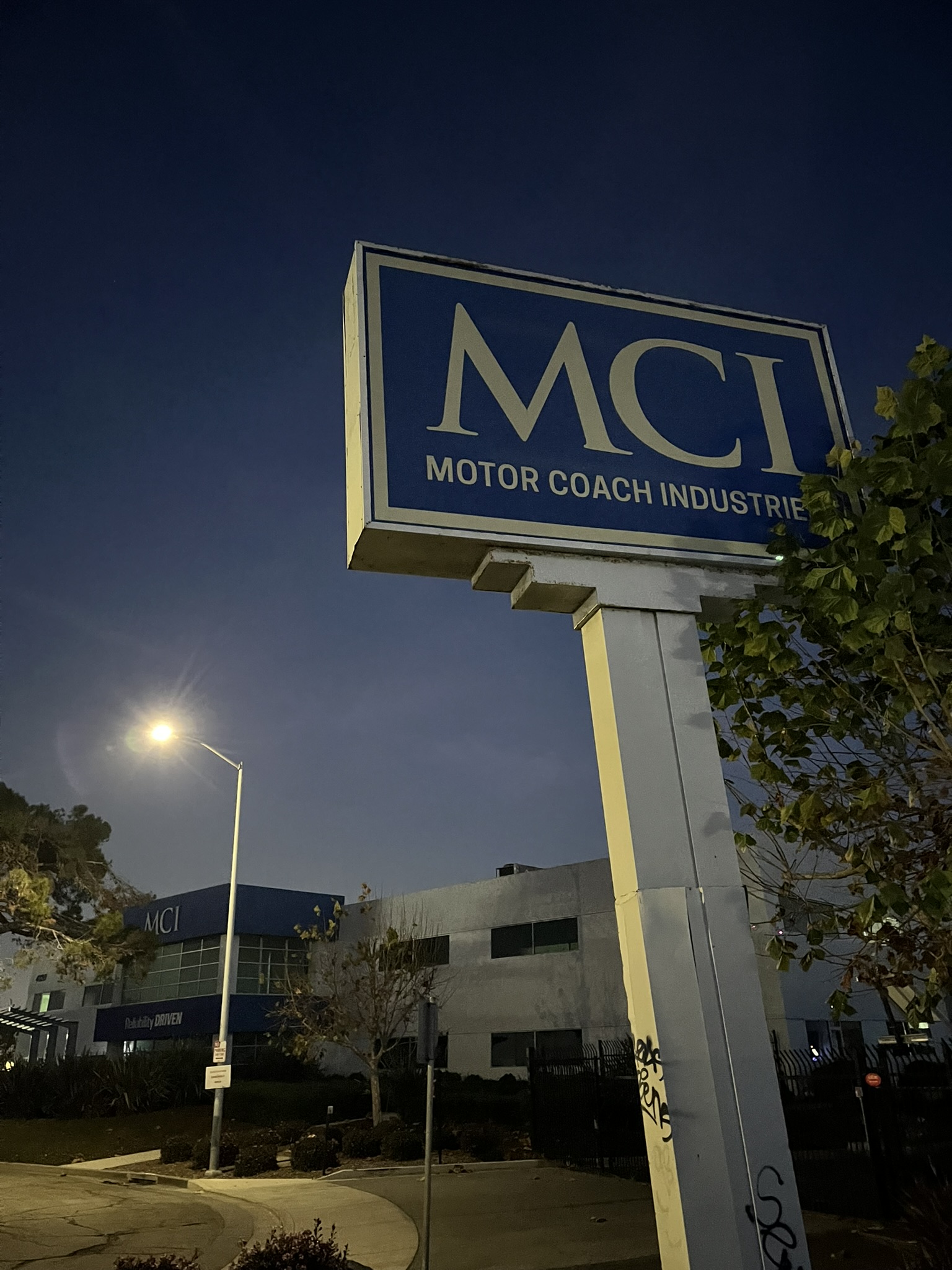
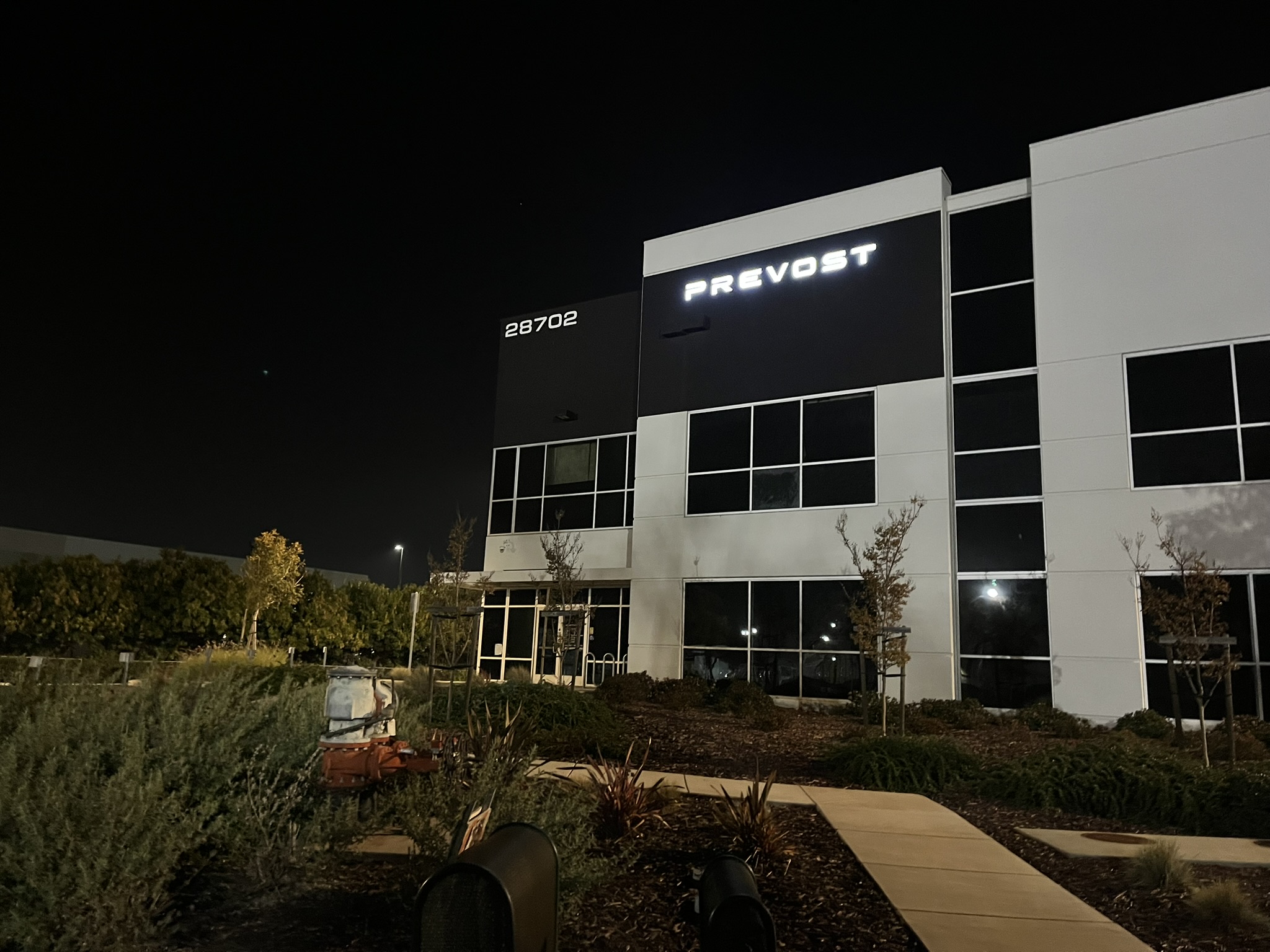
I somehow passed the buildings of both MCI (Motor Coach Industries) and Prevost, two bus manufacturers. Are they based here, or are these local offices?
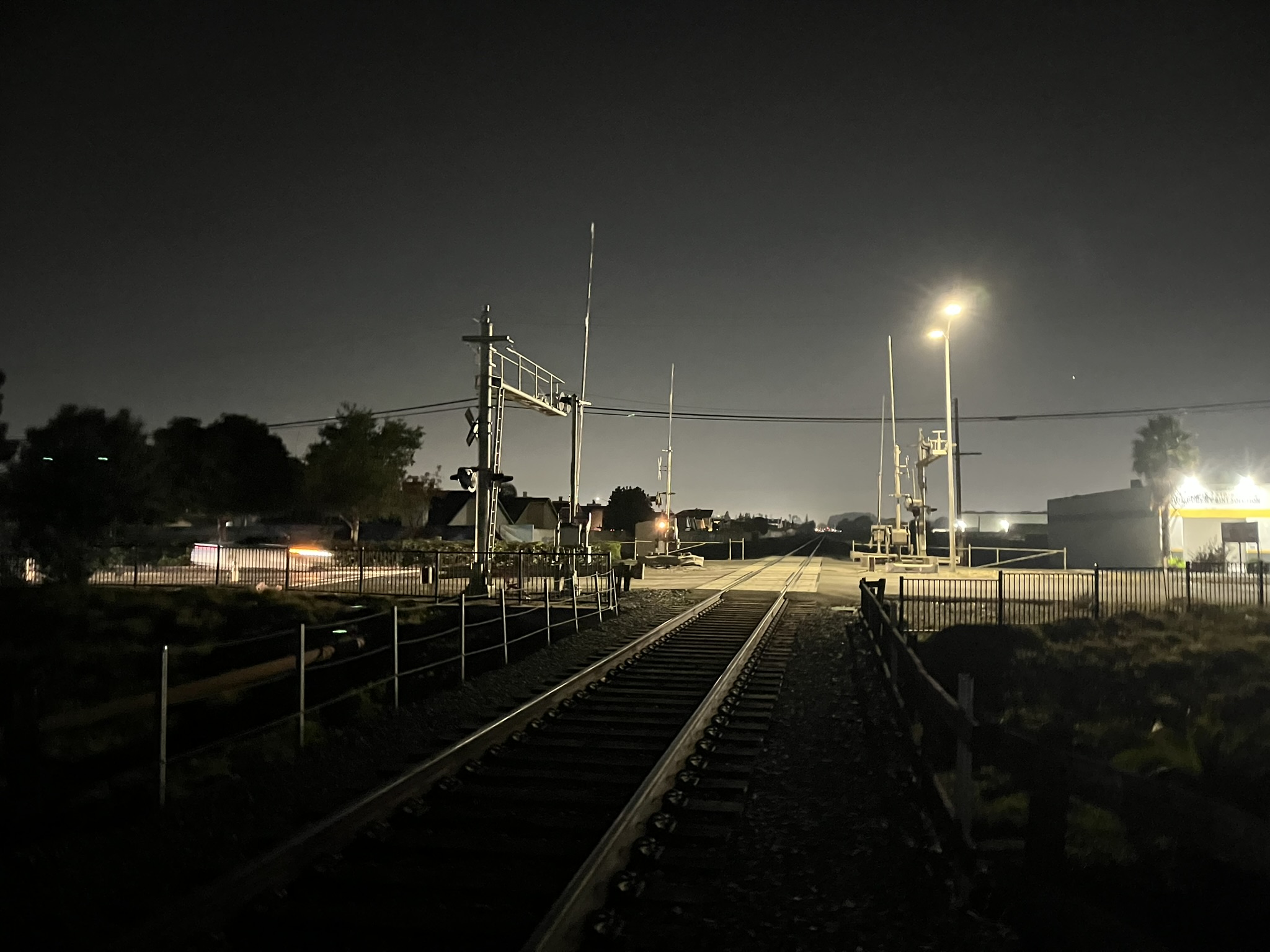
The railroad crossing was the last stop before BART!
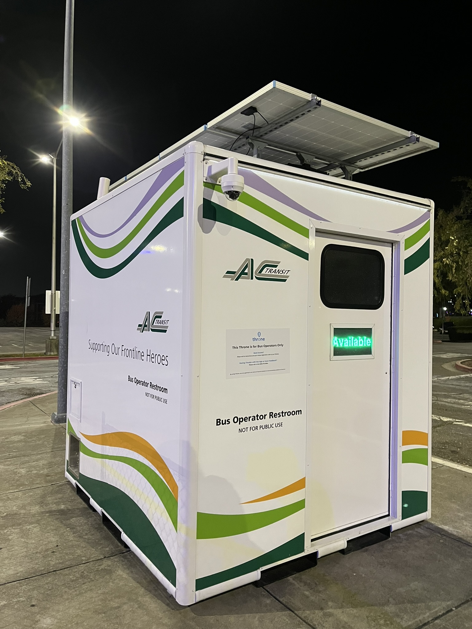
And finally, South Hayward BART! And the AC Transit operator piss cube bathroom.
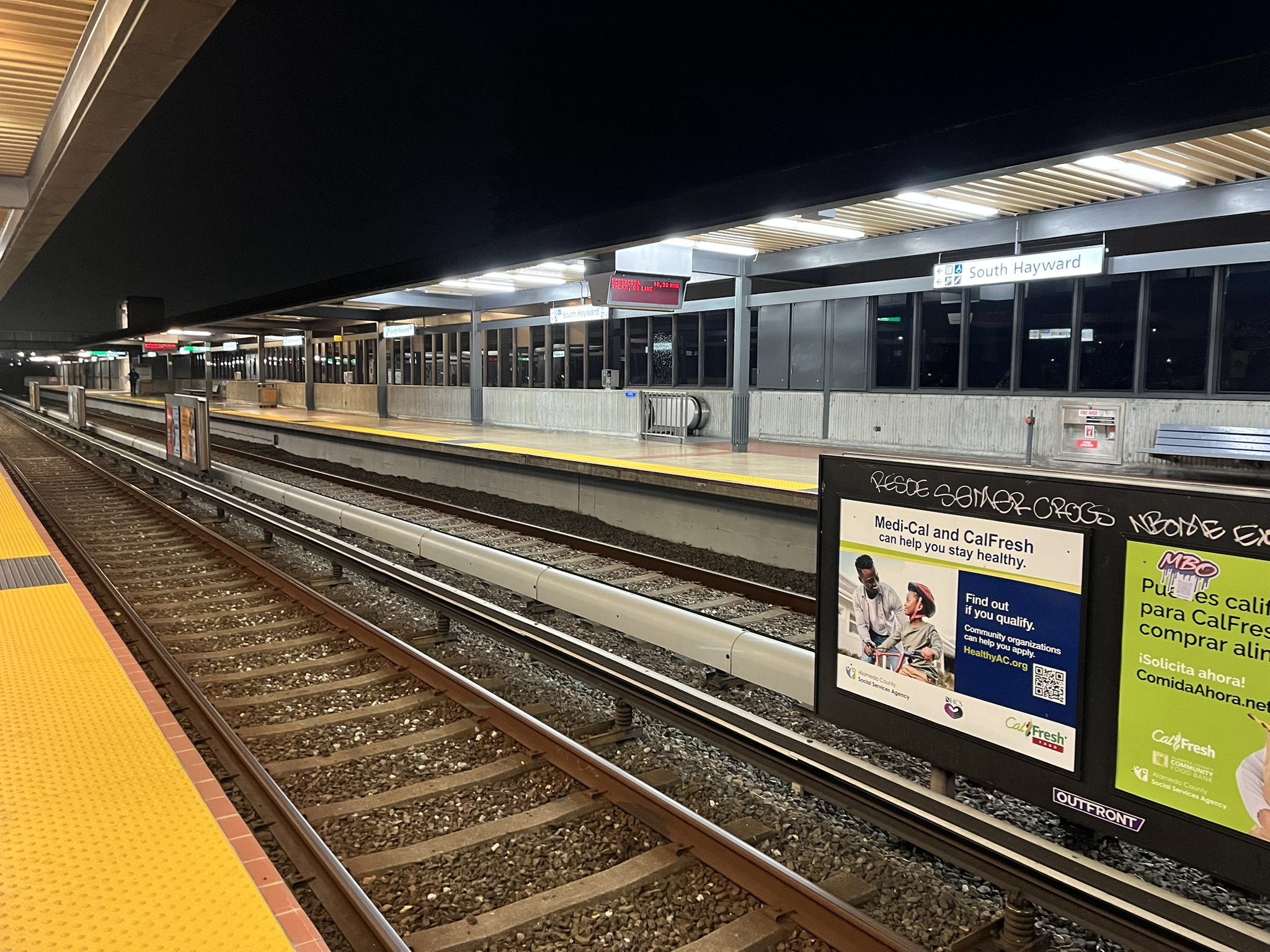
A lot of BART is at-grade (not elevated or underground), and uses gravel ballast like a more conventional railroad.
I gotta find a better way to track these than Strava.
The total ride ended up being 36.7 miles, done with two big stops (90 minutes in Oakland, 60 in San Leandro, plenty of pictures and staring at planes and trains) from 11:30 to 6:30. I'd recommend the Martin Luther King Jr. shoreline between High Street and the airport in Oakland, the Oyster Bay Regional Shoreline in San Leandro, and the whole trail from Marina Park down the Hayward Regional Shoreline if you're prepared for gravel. Unfortunately there's much transit access to either end, it's a bit of a ride in from BART.
It was a very scenic ride! The Bay Trail has yet to disappoint me, and I'm excited to fill out more segments. Next up...maybe Hercules to Vallejo? Stay tuned!